RAPID numbers
A Rural Address Property Identification (RAPID) is an identification number assigned to any rural property in the district.
The system is based on the distance to a property entrance from a clearly defined reference point, usually the beginning of the road on which it is located.

How are RAPID numbers used?
As RAPID numbers are allocated, this information is sent to Landonline, Land Information New Zealand’s national property database. A RAPID number helps emergency services and the public find your property. Many rural property owners include their RAPID number on their postal address.
How do I apply for a RAPID Number?
In order to supply a RAPID number Council needs accurate information to identify the property and its location.
Complete the RAPID number application form and mark the entrance to the property on a map.
The property information can be found on your rate account or assessment. If producing a map is a problem, contact us for assistance.
How long will it take to receive a RAPID Number?
Numbers will be allocated as soon as possible if the application has been completed correctly and all relevant information has been supplied to Council.
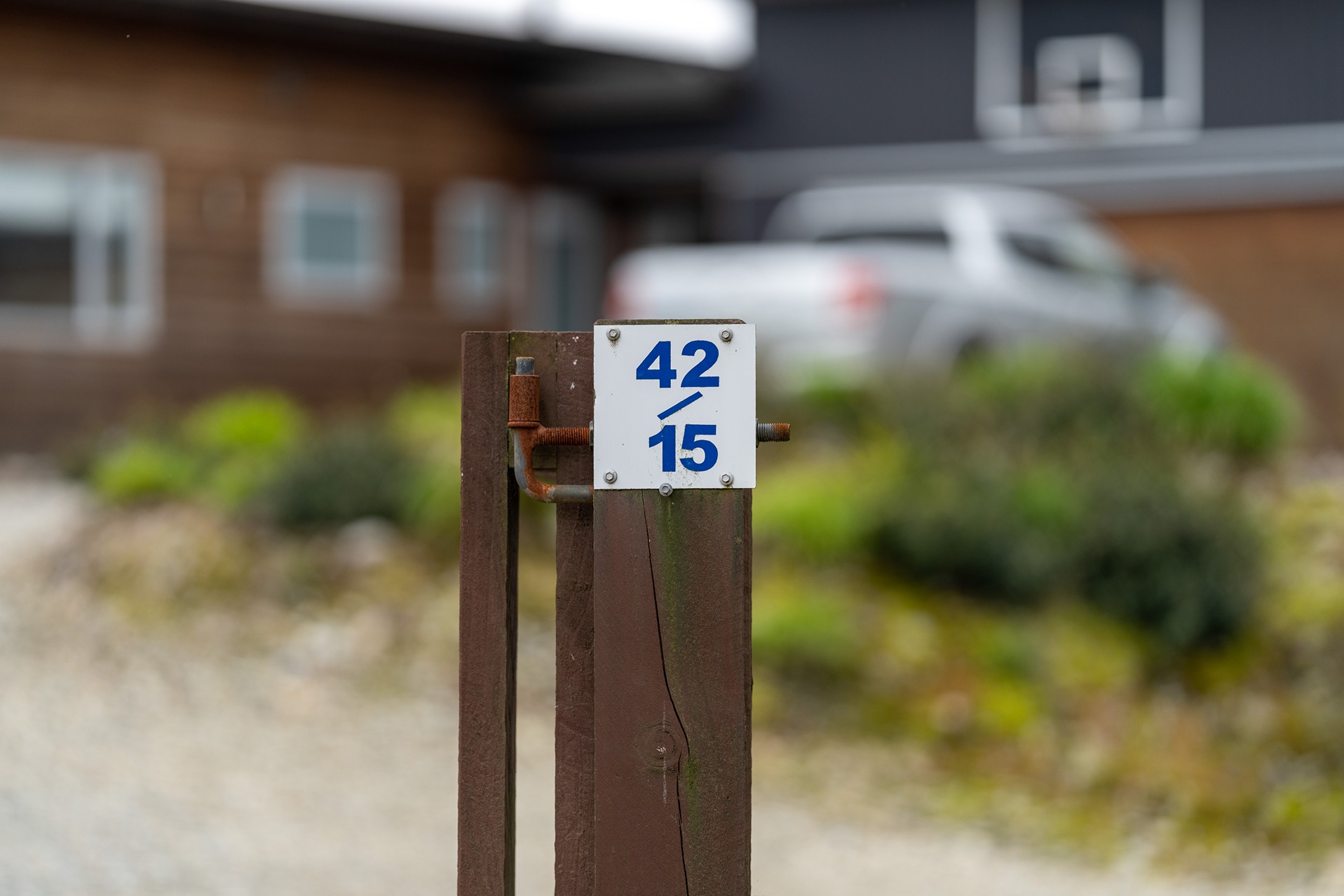
A plate with the allocated number will be made up and a Council Officer will attach the RAPID number plaque to a gatepost at the entrance of the property and ensure it is clearly visible from the road
Please refer to our Rapid Information document for further information.


